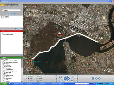
I've just downloaded Google Earth, and this program is absolutely stunning! I once tried to collect satellite images to make scenery for Microsoft Flight Simulator, it took so long just to find the relevant authorities/service providers that possess the images, then searching for relevant pictures, cutting and pasting one small piece of map one by one... In contrast, Google's just so bloody intuitive! Here's my almost daily cycling route when I was in Perth...
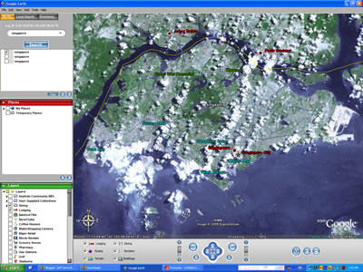
 Here's Singapore; this particular picture is pretty old. I remember seeing this from NUS' satellite pictures website. Hopefully the next time the LandSat satellite passes over, it won't be a cumulus day...
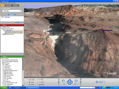
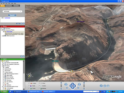
 I'm convinced this is the natural progression for the Flight Simulator, for e.g., probably we'll see this in ten years' time. Real time updates from the web. It's not only x and y axis, it includes height information as well; so one can pan and tilt the maps up and down. The pictures below of Hoover Dam near Las Vegas are panned and rotated. Can't wait to see what applications folks come out with. Imagine, a 3D bus guide! The possibilities are really endless...
 Here's Singapore; this particular picture is pretty old. I remember seeing this from NUS' satellite pictures website. Hopefully the next time the LandSat satellite passes over, it won't be a cumulus day...
 I'm convinced this is the natural progression for the Flight Simulator, for e.g., probably we'll see this in ten years' time. Real time updates from the web. It's not only x and y axis, it includes height information as well; so one can pan and tilt the maps up and down. The pictures below of Hoover Dam near Las Vegas are panned and rotated. Can't wait to see what applications folks come out with. Imagine, a 3D bus guide! The possibilities are really endless...
Comments